

|
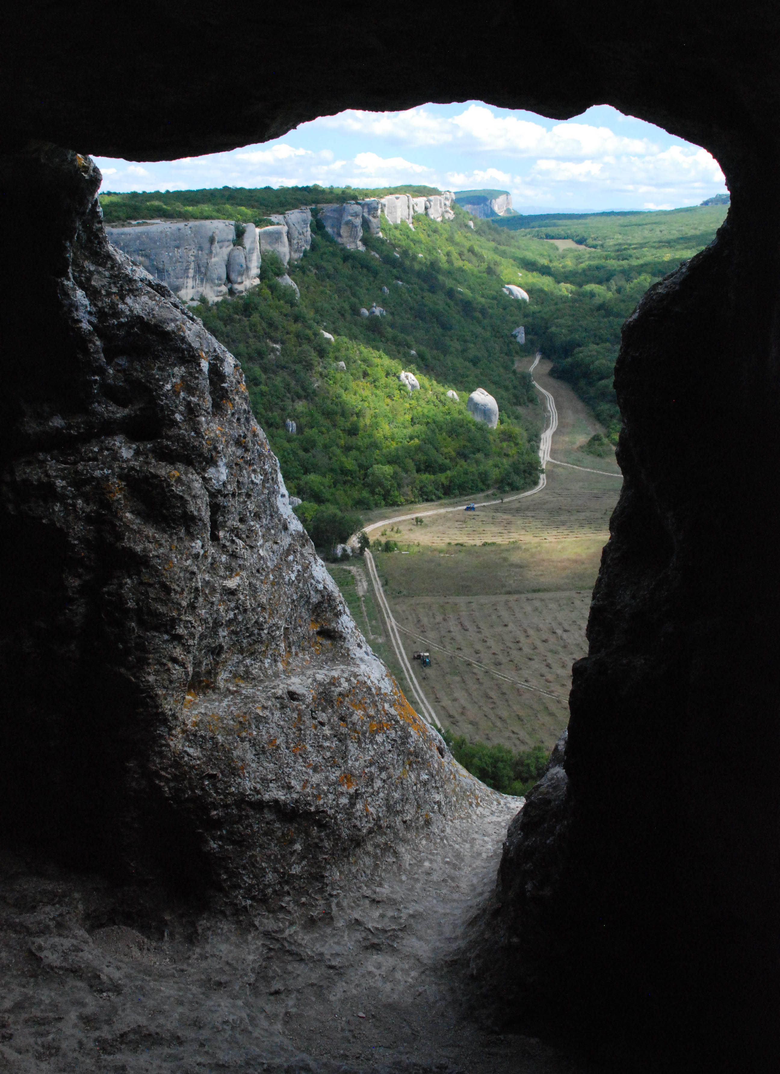
 The Crimean Peninsula by sections
 The cities of the Crimean Peninsula
The renewed version of our blog, with more features, a richer design, and available in nine languages, can be read here: https://wangriver.com
The new version also includes the old posts, often in expanded form. If you are curious about the updated version of this post, replace “riowang.blogspot.com/” in the URL with “riowang.studiolum.com/”, and the new link will most likely lead you there.
La versión renovada de nuestro blog, con más herramientas, un diseño más rico y disponible en nueve idiomas, se puede leer aquí: https://riowang.com
La nueva versión también incluye las publicaciones antiguas, a menudo en una forma ampliada. Si tiene curiosidad por la versión actualizada de esta entrada, sustituya «riowang.blogspot.com/» en la URL por «riowang.studiolum.com/es/», y el nuevo enlace probablemente le llevará allí.
|
|
The Crimean Peninsula by sectionsThe cities of the Crimean Peninsula
 where we daily publish new photos about our travels around the world:


 Atlantis
 Bestiary
 Bohemia+Prague
 Books, exhibitions, music, film
 Brave old world
 Caucasus
 Cemeteries
 Get to know the
 Images of the East
 Lightwriting
 Lwów/Lemberg
 Mallorca
 Message on the wall
 The Museum of Propaganda
 Odessa
 Paper Museum
 Persian letters
 The Jewish heritage
2 comentarios:
I have incorporated within one of my blogs: http://rupertbuukraine.blogspot.com/2013/08/the-atlas-of-crimea.html
Only thing not working is map, it does not open by sections as on your original post :-(
Wow, what a great blog. I’ll keep reading it.
But if you copy the complete source of this post, then it must work!
Publicar un comentario