Switch over to our new blog! • ¡Pásese a nuestro nuevo blog!
The renewed version of our blog, with more features, a richer design, and available in nine languages, can be read here: https://wangriver.com
The new version also includes the old posts, often in expanded form. If you are curious about the updated version of this post, replace “riowang.blogspot.com/” in the URL with “riowang.studiolum.com/”, and the new link will most likely lead you there.
La versión renovada de nuestro blog, con más herramientas, un diseño más rico y disponible en nueve idiomas, se puede leer aquí: https://riowang.com
La nueva versión también incluye las publicaciones antiguas, a menudo en una forma ampliada. Si tiene curiosidad por la versión actualizada de esta entrada, sustituya «riowang.blogspot.com/» en la URL por «riowang.studiolum.com/es/», y el nuevo enlace probablemente le llevará allí.
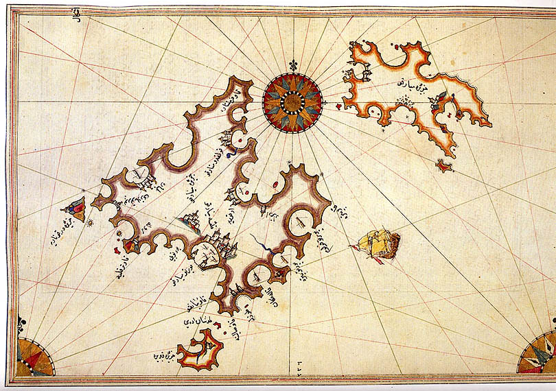

 The schematic profile of Cabrera to the south of the island of Mallorca in the beautiful Kitab-ı Bahriye (Book of Navigations, 1526), based on the map of the Turkish admiral Piri Reis, only marks the bays where to cast anchor. On our visit to the island this year, however, we went inland, climbing high up to the crest of the Serra de ses Figueres (Sierra de las Higueras, the Fig Tree Mountain). There, from a certain point you can see simultaneously the harbor of “s’Olla” (the Pot), a small cove on the opposite side, the five “Estells”, islets or cliffs marking the southern boundary of the national park to the south, and to the north, pointing the way to Mallorca, the island of Conillera (Conejera, Rabbits Island) with the subsidiary islets that surround it.
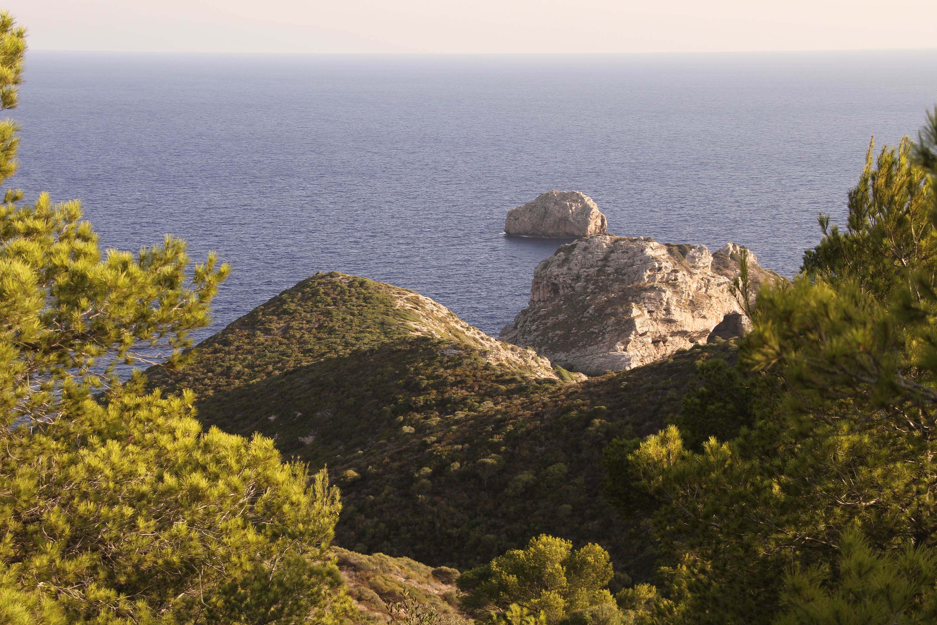


 Come with us to…
 Atlantis
 Bestiary
 Bohemia+Prague
 Books, exhibitions, music, film
 Brave old world
 Caucasus
 Cemeteries
 Crimea
 Get to know the
 Images of the East
 Lightwriting
 Lwów/Lemberg
 Message on the wall
 The Museum of Propaganda
 Odessa
 Paper Museum
 Persian letters
 The Jewish heritage


No hay comentarios:
Publicar un comentario