 The Pravčická brána, as it lives in my imagination
I travel by train to the Czech border station Děčín (until the resettlement of its German population in 1946, Tetschen). There I change to the two-hourly bus that takes me along the Elbe to the border town of Hřensko (Herrnskretschen).
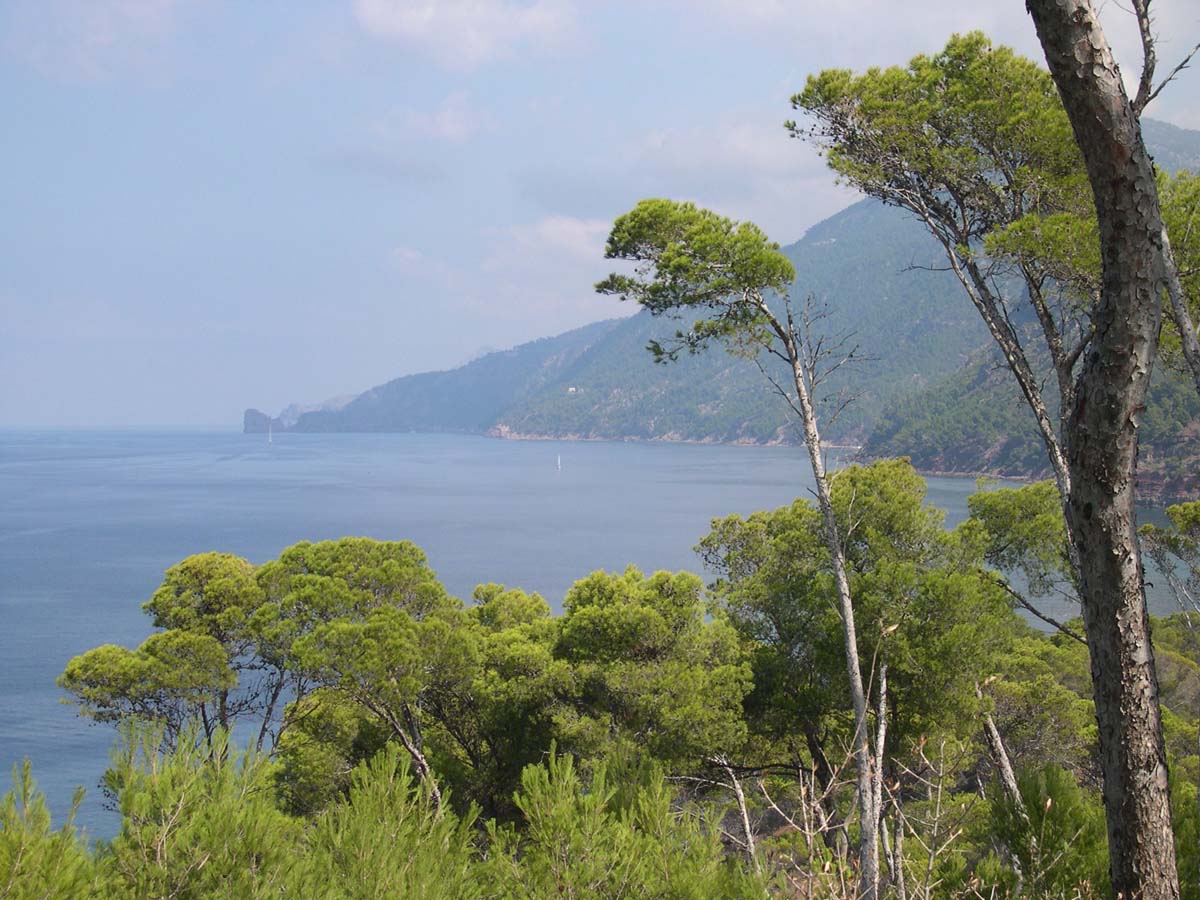
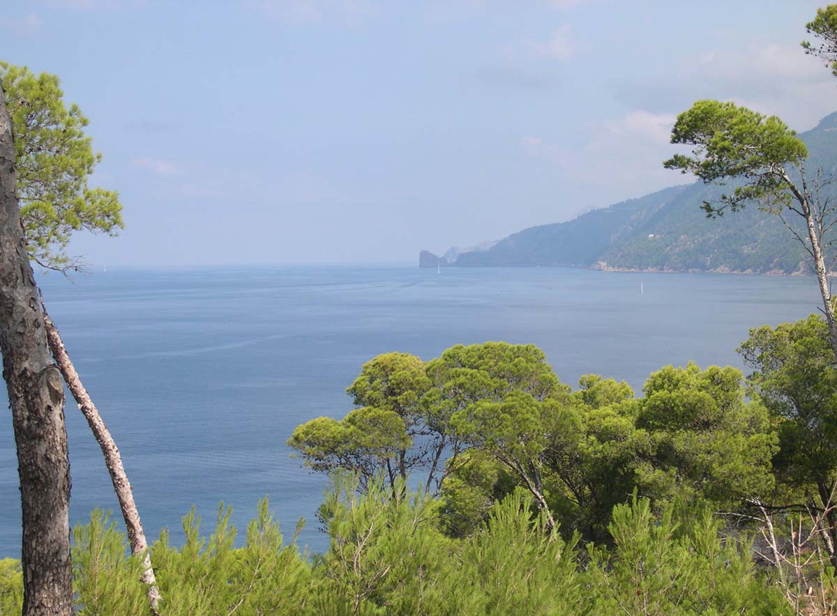
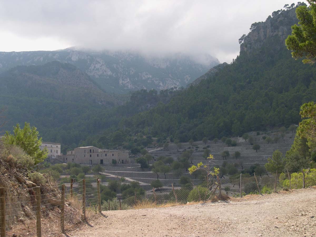
Before the war, the town was a popular resort in the Sudetenland, on the banks of the Elbe and at the feet of the “Swiss mountains”, with Art Nouveau hotels and villas, hiking trails to the Prebischtor and other lookout points, and boats into the picturesque Kamnitzklamm (Edmundová soutěska), the gorge of the Kamnitz/Kamnice river. In the spindle-shaped town center along the river, turn-of-the-century hotels and restaurants stand around the Baroque church of St. John of Nepomuk, including the Art Nouveau building of the former acetylene gas factory, founded in 1905 for public lighting and later, with the spreading of electricity, converted into a villa.

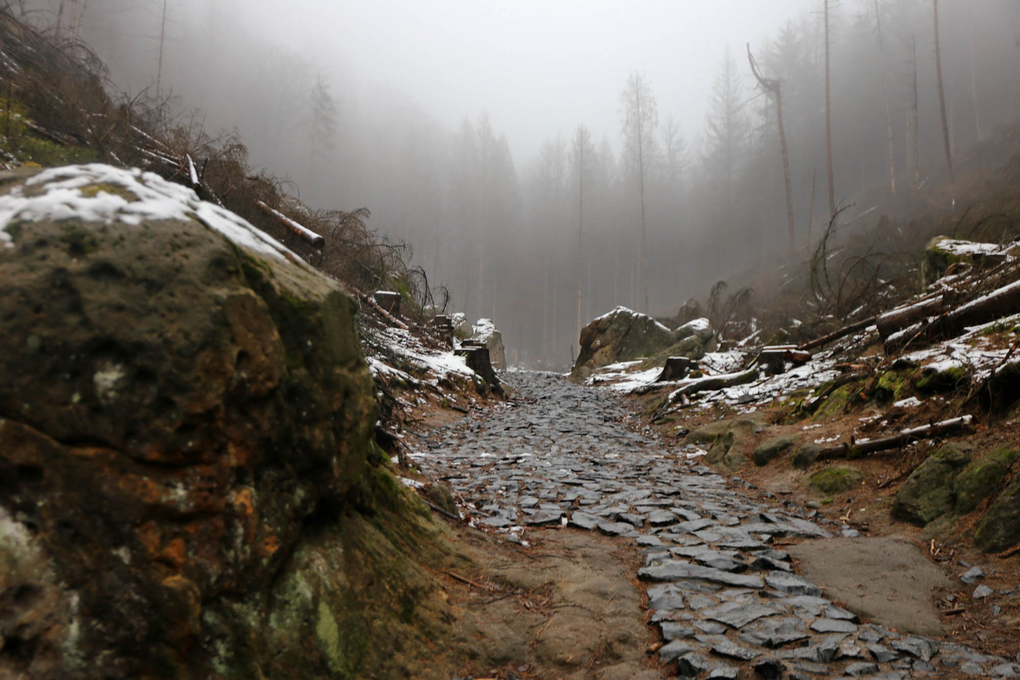
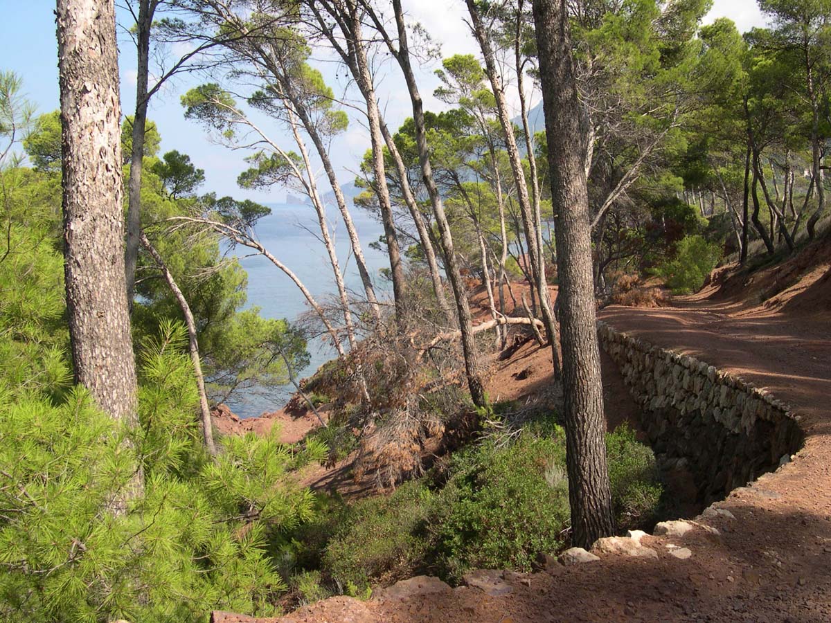
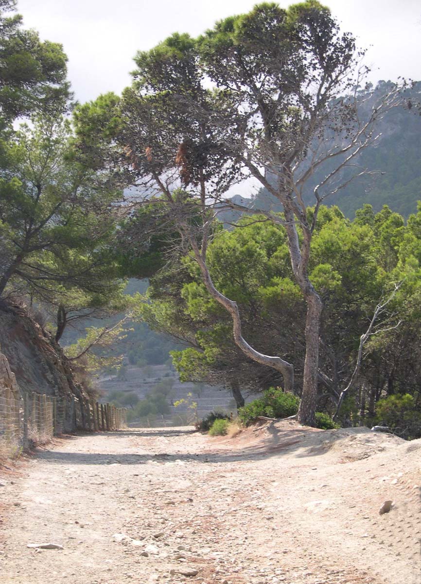
The Gabriela or Lynx trail to the Prebischtor forks off the main road three kilometers above the town. It winds between high rock walls, pines, oaks and beech trees at the bottom of Dlouhý důl, the Long Valley. In some places it is still covered with basalt cubes. According to old recollections, before the war, in the German world, the whole road was paved with basalt, since there was so much tourist traffic to the Prebischtor. On this, gentlemen could go up to the attraction on horseback and ladies in horse-drawn carriages.

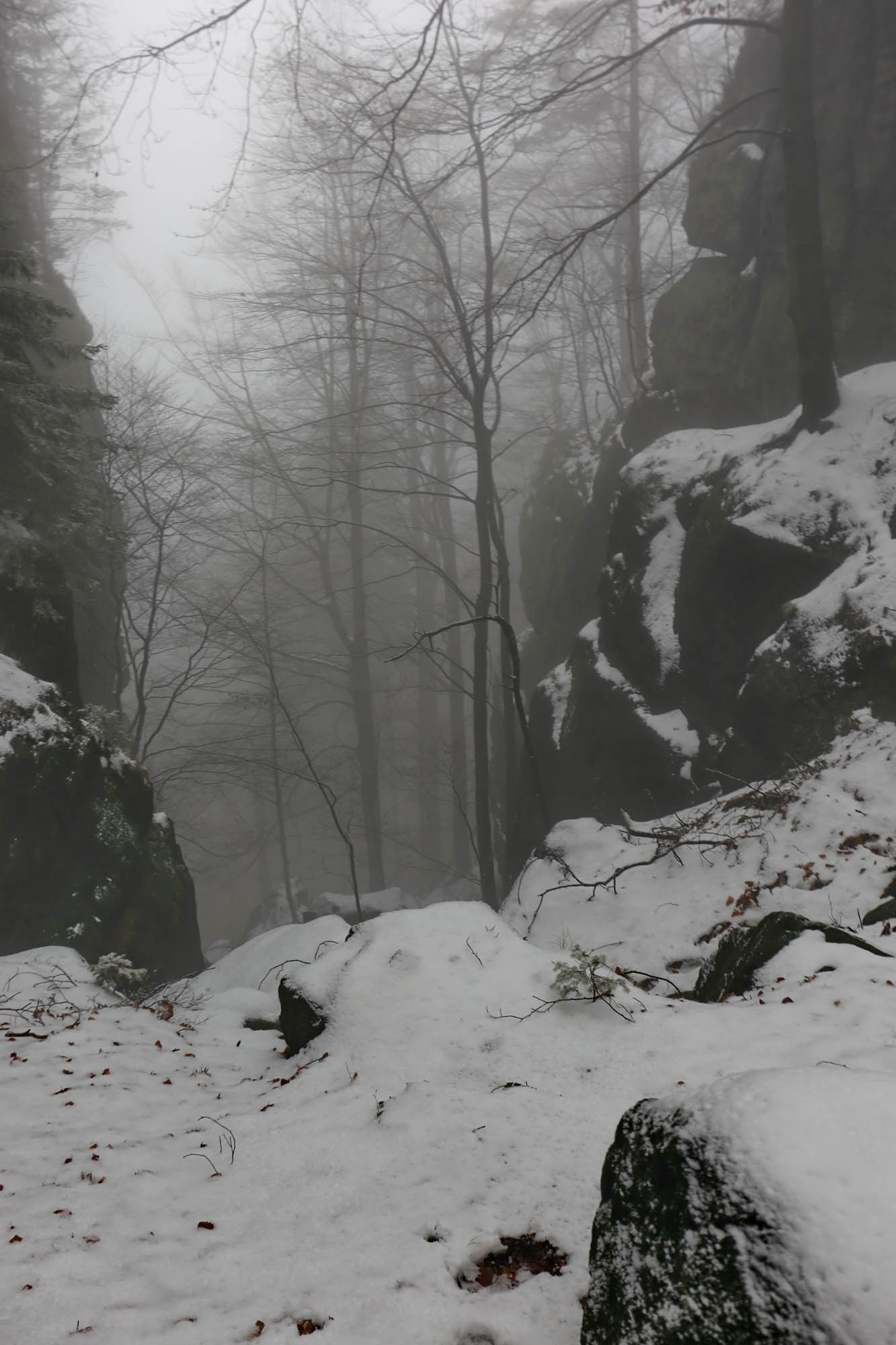
Not long past noon, but fog is already coming down heavily. Suddenly the weather cools down, and soon the snow starts to fall as well.

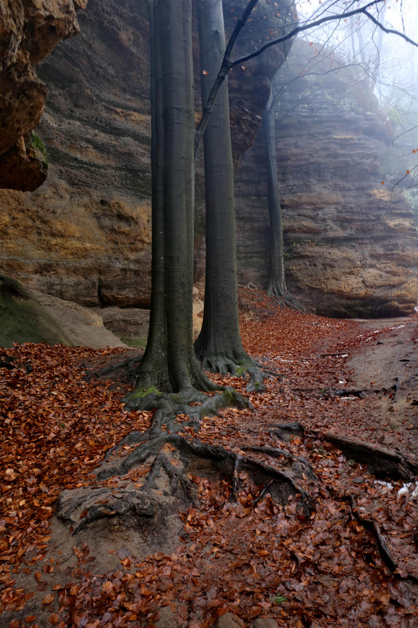
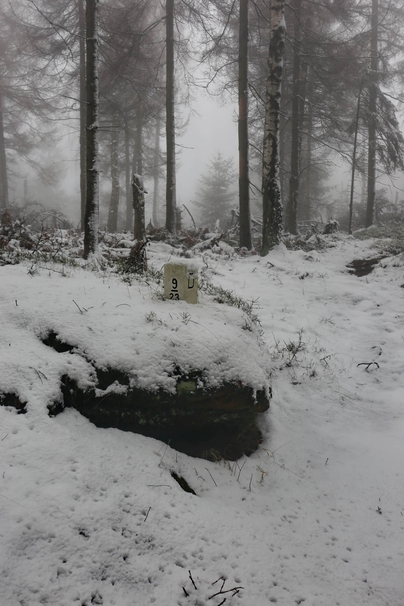
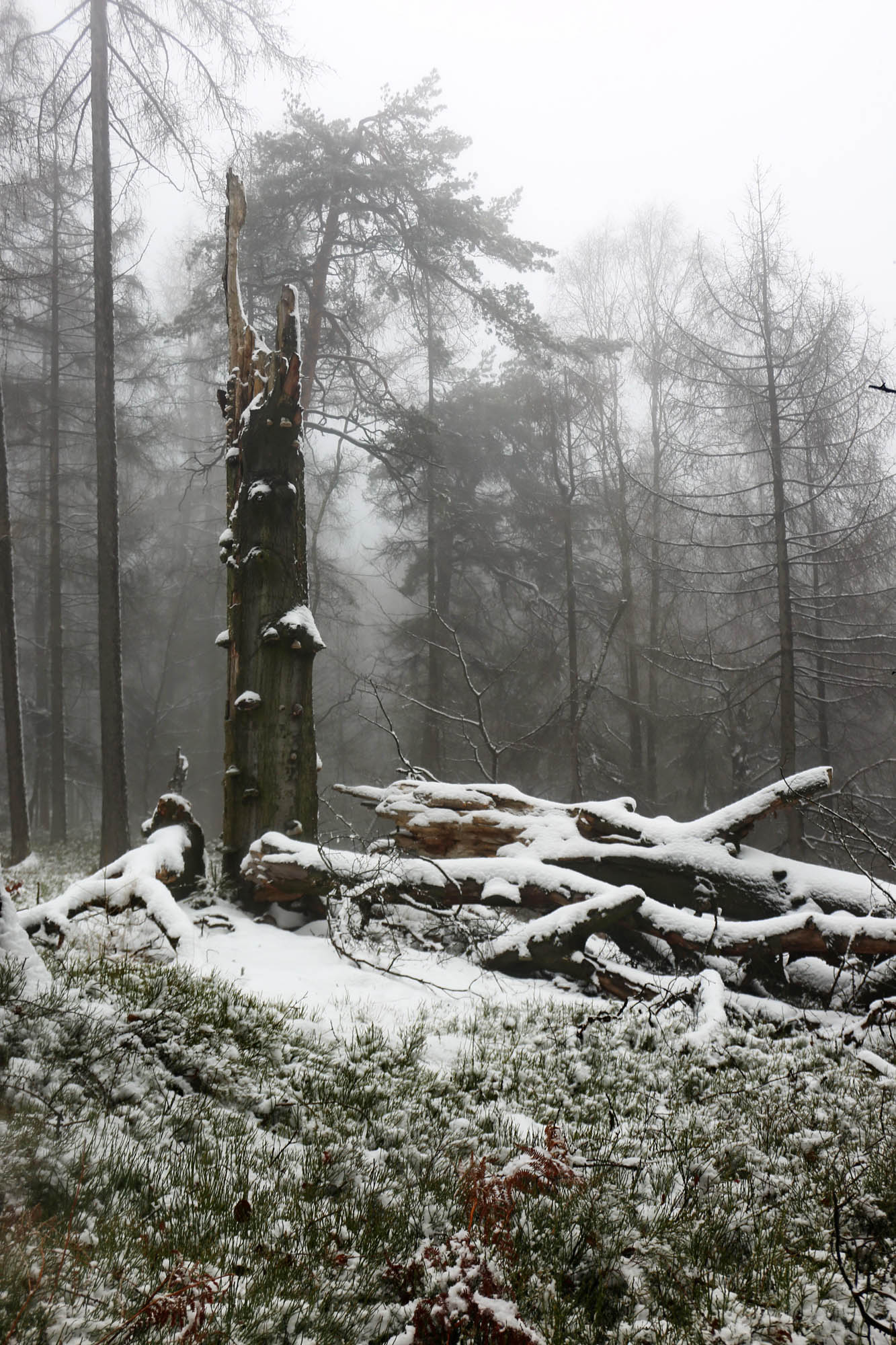
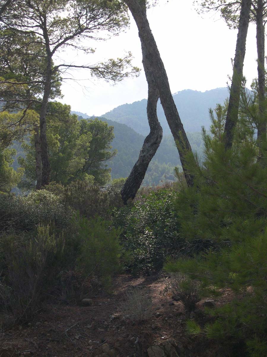
In the nature reserve, fallen trees are not cleared. They remain there in the cycle of nature. They are only towed off the tourist roads, but not from the unmarked roads, as we will see later.

On the uncovered paths, erosion washes the roots into magnificent vascular networks.

The trail turns unexpectedly in front of the Prebischtor cliff. Stepping on the small valley bridge, the sandstone arch formed by erosion suddenly rises, with a barren black tree with Japanese contours in front of it. The really nice view would open from the other side, but the road leads through a ticket office which is closed now, in covid times.


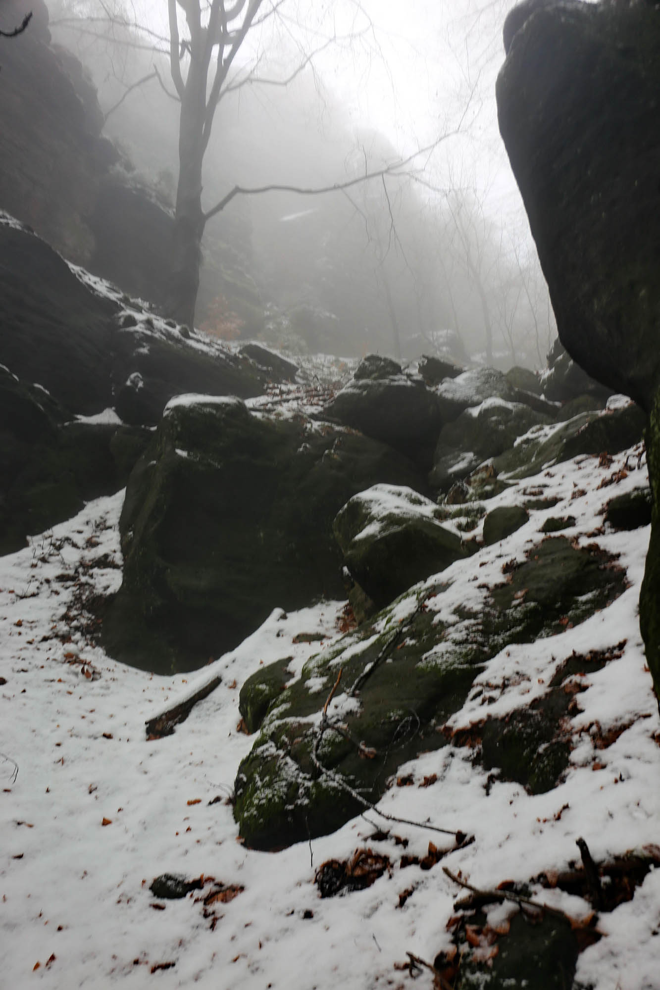
Turning back to the Gabriela trail, soon a steep trail climbs on the back of the Prebischtor cliff. It is marked in the tourist map, but otherwise it is almost invisible, especially under the freshly fallen snow. I slide back on it again and again. A spasm settles in both of my legs by the time I get to the top of the two hundred meters, where the trail joins the Fremdenweg.
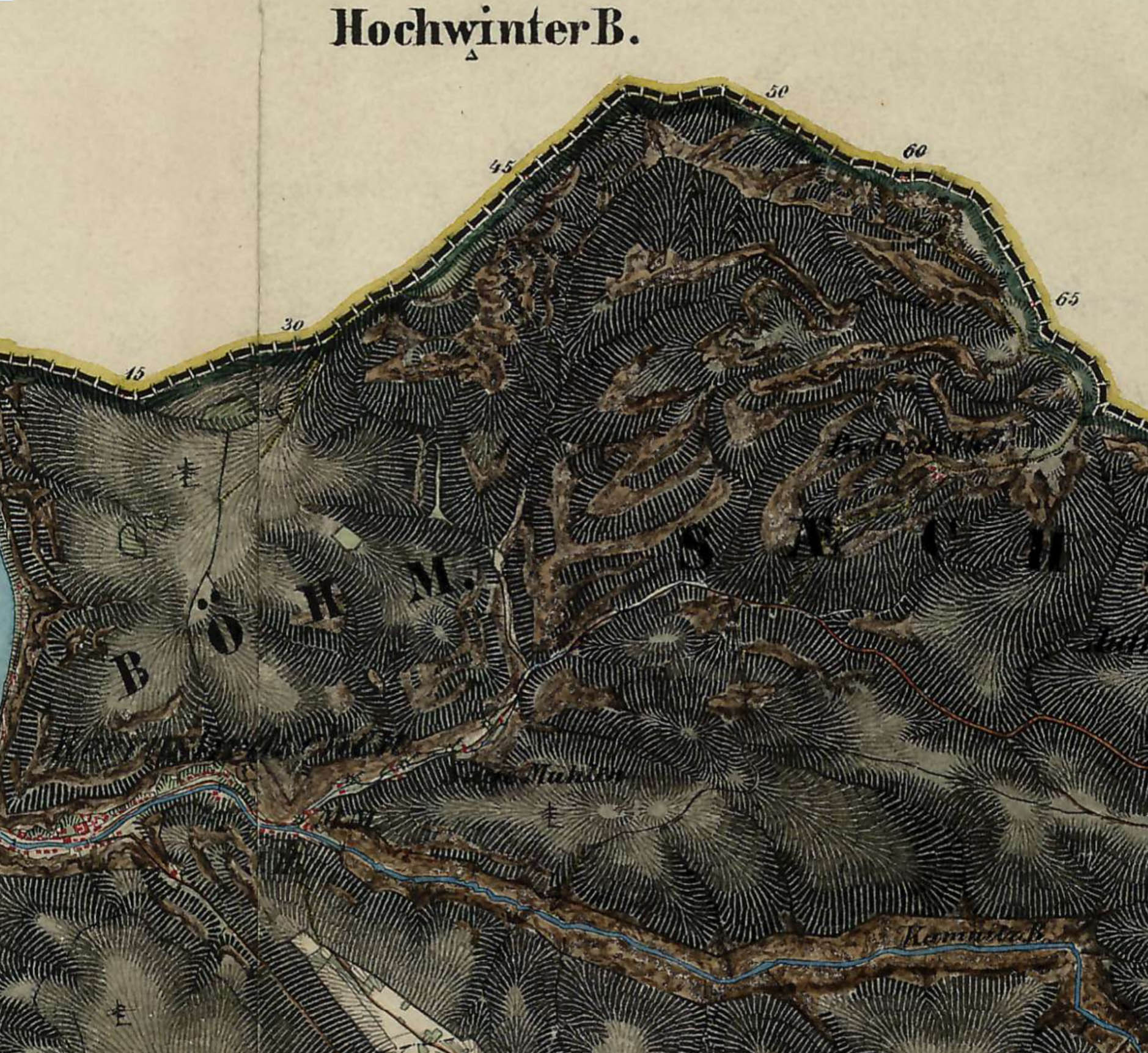
The Fremdenweg was the first tourist route in Saxon Switzerland, roughly between 1790 and 1851. It was established by the artists of the Dresden court, beginning with Adrian Zingg and Anton Graff, who were the first to come here to paint the bizarre rocks of the sandstone mountains. By the early 1800s it was an already established route, described in detail by Carl Nikolai and Wilhelm Götzinger in their ever-expanding guidebooks written for an ever-growing educated audience. Its exact route was reconstructed by Matthias Krell in his 1998 dissertation. The second Hapsburg military survey from 1843-1853 already shows it on the map of Bohemia.
The Malerweg, developed by the Saxon Tourist Office in the 20th century as the main tourist route in Saxon Switzerland, only partially follows the Fremdenweg. It obviously does not even come over to Bohemia, unlike the Fremdenweg, of which this one section alone bears the original name. Today, however, few walk on it, partly because it is not a marked tourist route, and partly because it requires a paperless border crossing, which is legal but still unusual for EU citizens.
Hřensko and surroundings. The route of the border trip branches off the main road in the middle of the map section and goes northeast to the border, and then west along the border to the Elbe, as indicated by the red dots. It’s worth zooming in. I did not use this map for the tour, but the very detailed Locus Map tourist map, but it only has an Android version, so I cannot insert it here.
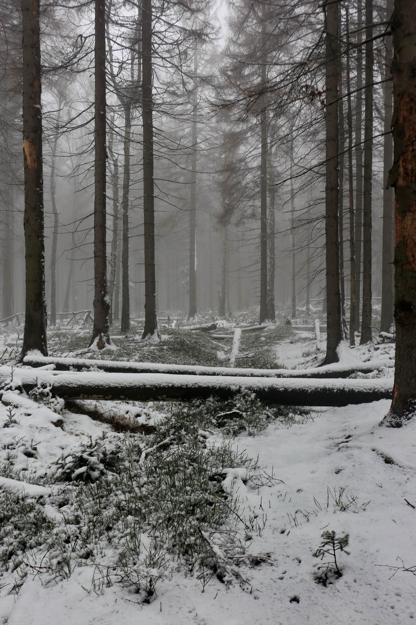
The German border is only five hundred meters away along the Fremdenweg. To the right, the edge of the steep valley full of fog is bordered by scary barren trees, as if Caspar David Friedrich had been here (as he was indeed). At the end of the ridge, the road branches in four directions. I would like to follow the Fremdenweg for a while longer, but it is closed by fallen trees, so I head west to the Elbe on the Grenzweg along the border, lined with border stones on both sides.


After a while, the Grenzweg ends in a steep-walled swampy cauldron. The way out is blocked by fallen trees. I have to fight myself over to the parallel Fremdenweg. Here and later throughout the journey, the deer and wild boar runs in the snow are of great help in avoiding the huge logs. They, knowing the terrain well and preferring to follow the trodden paths, avoid the fallen trees with good intuition and ergonomy.

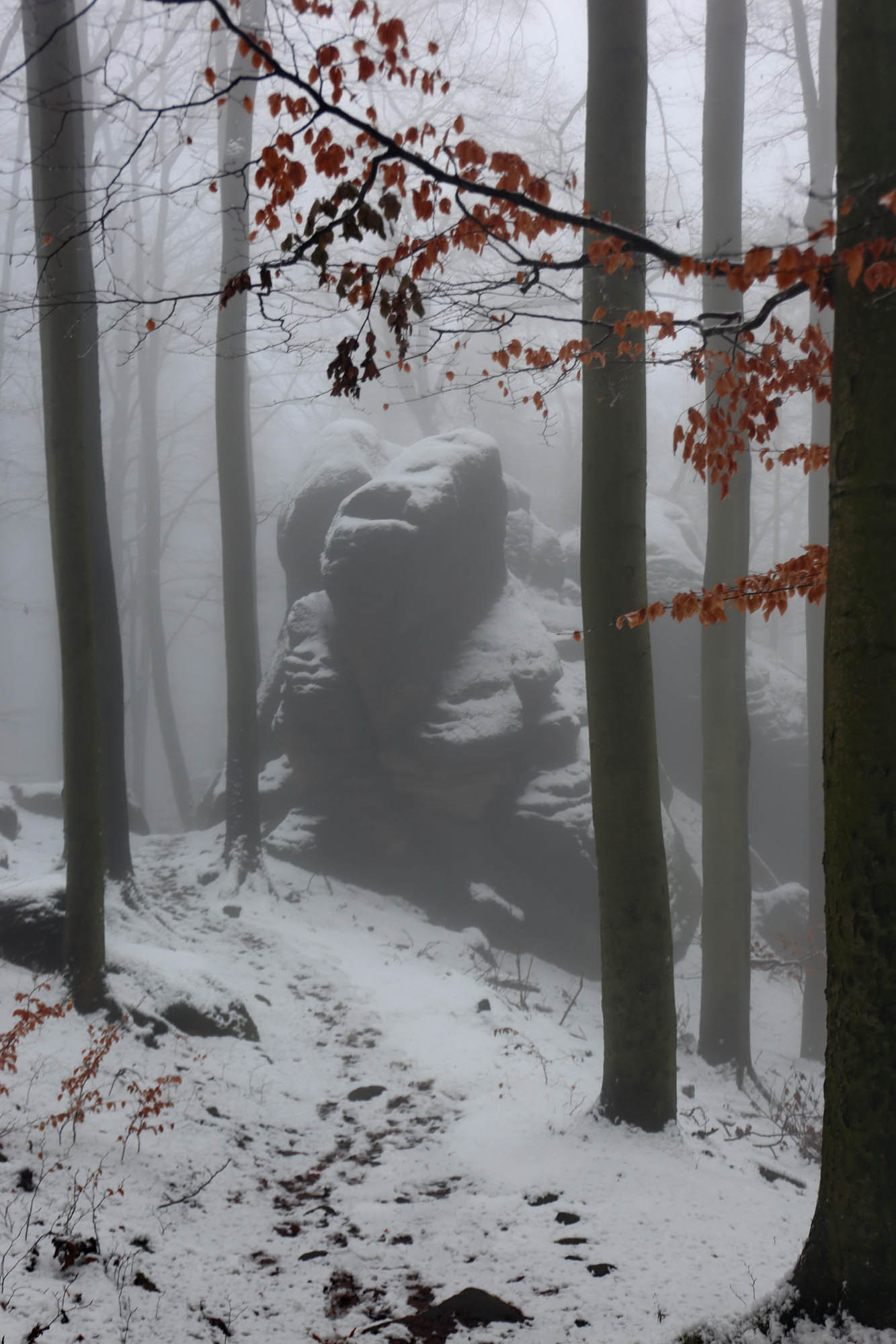
Several cliffs along the Fremdenweg show why this route was preferred by Romantic painters. The largest is the Lion Rock group, the monumental pieces of a collapsed large sandstone column, around which the trail goes in a large loop.
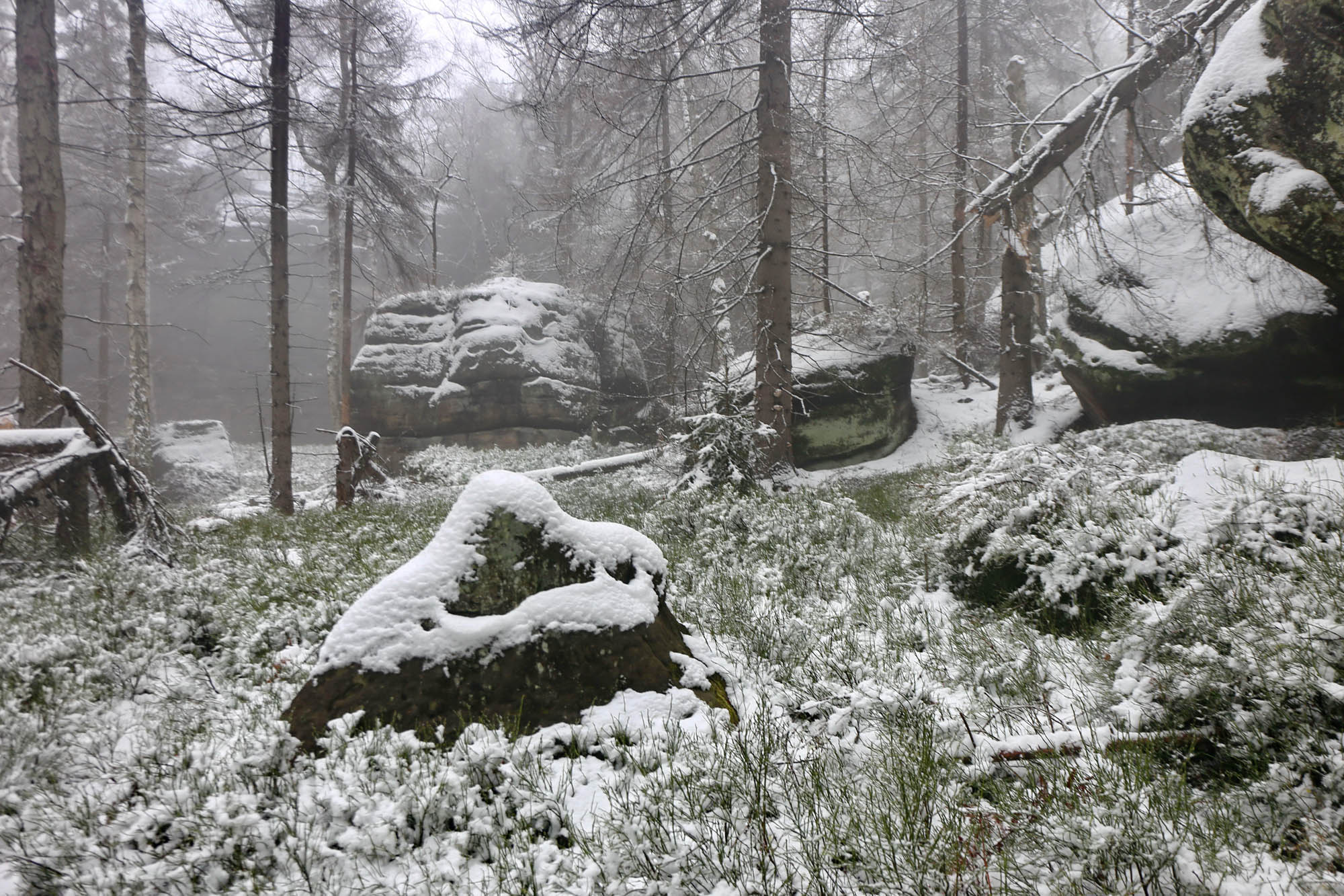

Nevertheless, the Fremdenweg is no runway either. It is also thickly covered with fallen tree trunks. Fortunately, the forest animals have already marked the recommended bypass in the snow. I make the three-kilometer trip in nearly two hours. After a while, the trail arrives at the border and runs along the border line, together with the Grenzweg. Again, border stones and bilingual inscriptions warning of the state border on both sides. In the meantime, it is twilight, I am cold, and the battery is exhausted. From now on, I have to navigate by heart.
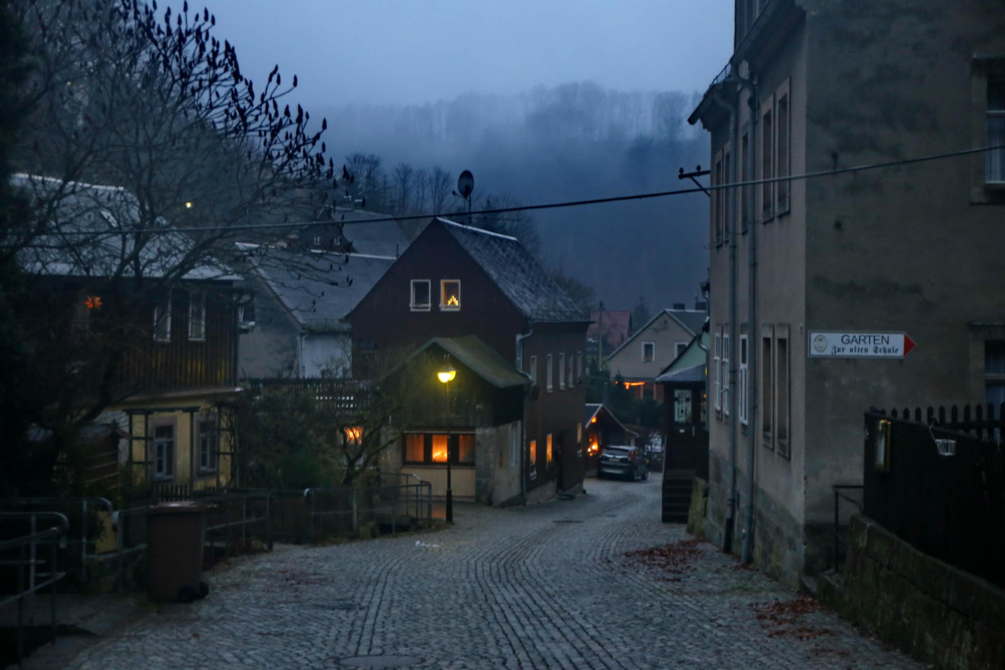
Then the road branches off to the north, and it soon becomes the green-marked tourist route, the Malerweg. In addition to the markings, the numerous footprints and half-built snowmen also show that this is a beaten path. The swampy terrain is also made accessible by a wooden grid in many places. I pass under the Großer Winterberg, and turn onto the Bergsteig, the hundreds of steps leading down to the river. The most exciting of the bizarre rock formations that line the trail is a three-headed troll, which awaits the tourist stumbling down unsuspectingly with its mouth open and its eyes closed. At this point of twilight and fatigue, it provides a very convincing performance.

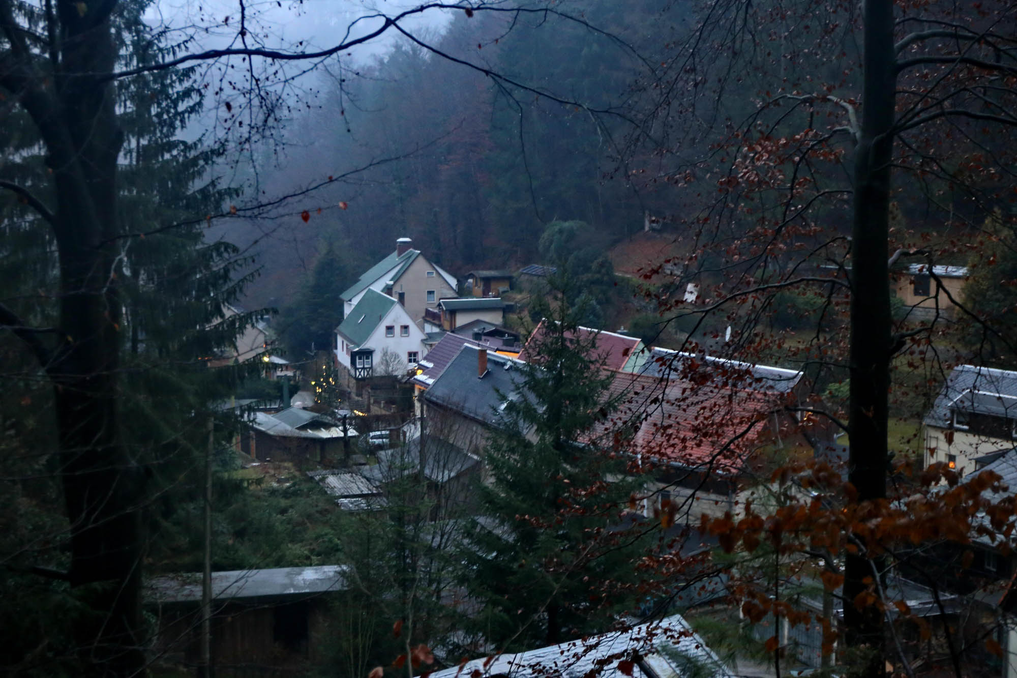
In Schmilka, the last German border town along the Elbe, the lights come on just as I reach above the town on the Bergsteig. Timing was good. I would have hated to do any part of this trip in the dark.
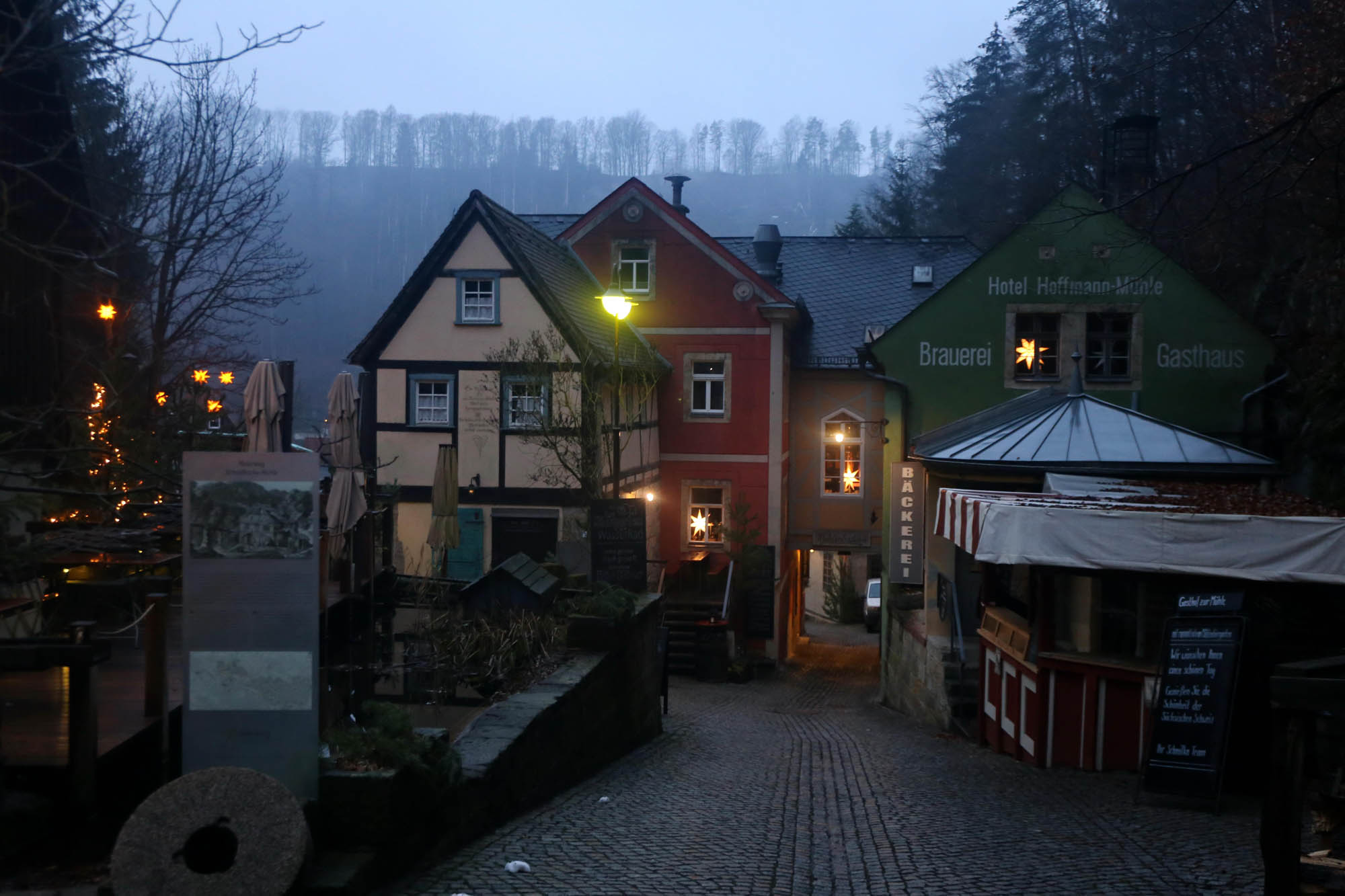 The Schmilka mill today (above) and in the engraving of Adrian Ludwig Richter (1803-1884) from Dresden (below)
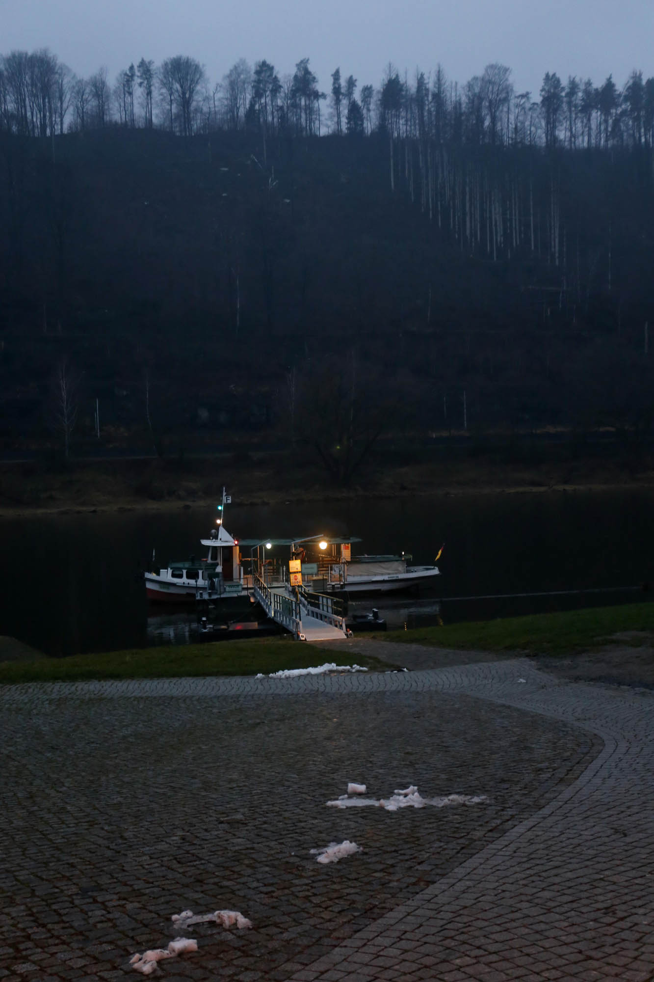
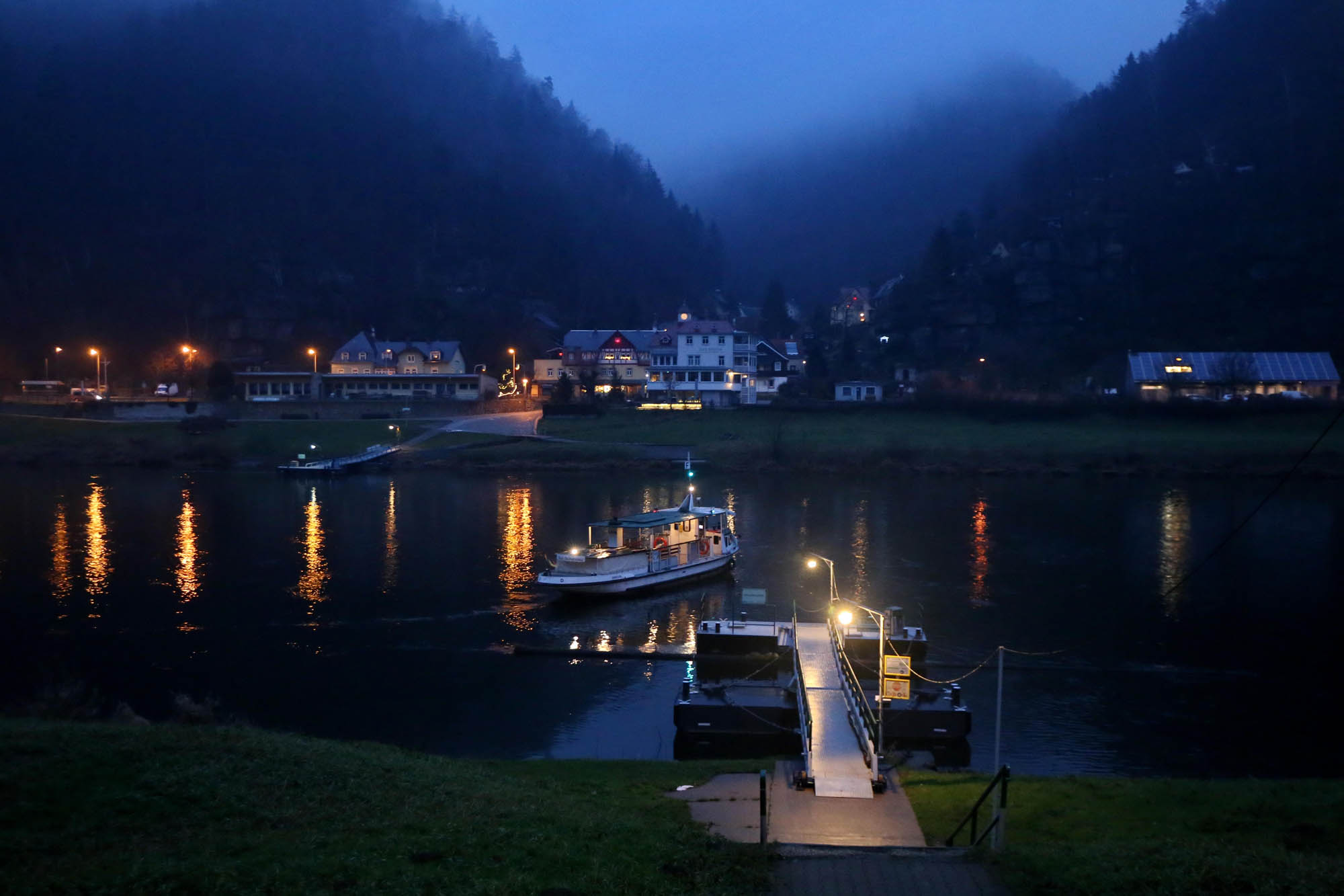
The ferry runs until night. I cross the Elbe to the narrow-gauge railway on the other bank. I transfer to the Berlin express in Dresden.


 Come with us to…
 Atlantis
 Bestiary
 Bohemia+Prague
 Books, exhibitions, music, film
 Brave old world
 Caucasus
 Cemeteries
 Crimea
 Get to know the
 Images of the East
 Lightwriting
 Lwów/Lemberg
 Mallorca
 Message on the wall
 The Museum of Propaganda
 Odessa
 Paper Museum
 Persian letters
 The Jewish heritage


